Mississippi Maps are Works of Art
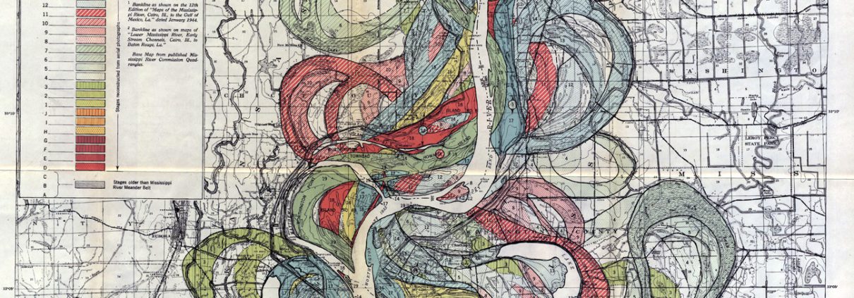
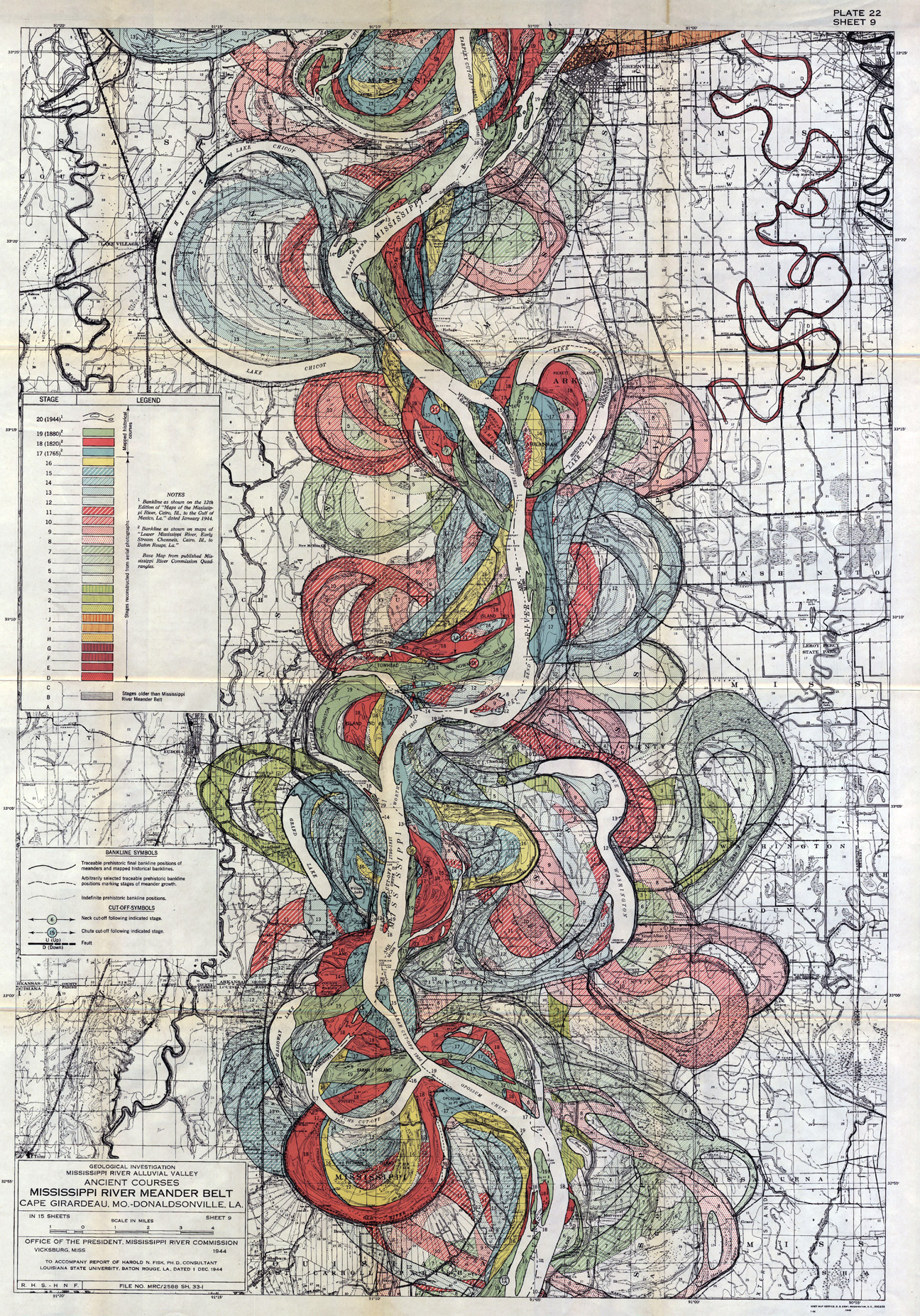
In 1944, Howard Fisk completed the “Geological Investigation of the Alluvial Valley of the Lower Mississippi River” for the U.S. Army Corps of Engineers. For three years, Fisk gathered physical evidence mapping over 2,000 miles of the meandering Mississippi River. The maps speculate and interpret the history of this powerful waterway in an incredible series of colorful cartographic visualizations. The drawings are such elegant images of line, color and shape extrapolating information, data and empirical evidence. You can view all maps at http://www.radicalcartography.net/?fisk
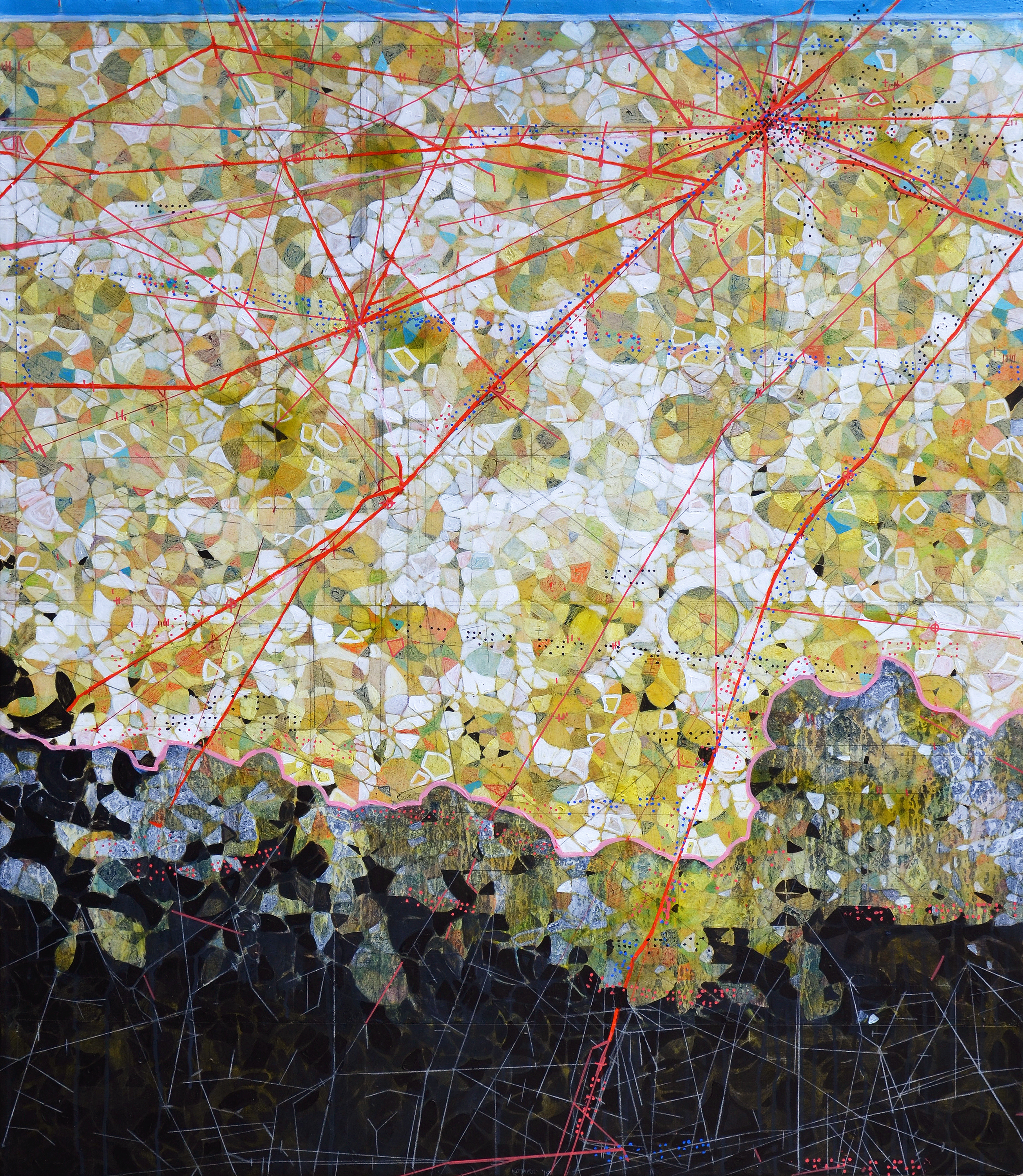
“Losing ground” (below) has been a work in progress for over three years. Combining a variety of materials using geometry, diagrams and Braille, the abstract landscape depicts Louisiana’s loss of coastal land due to levee construction (Mississippi River), the oil & gas industry and severe weather. And although not necessarily evident, it is my internal push and pull through addition & subtraction of information attempting to bring order into a chaotic world. Finally after considerable time the vision reaches a stopping point.
“Losing ground,” 2015, mixed media on paper mounted on canvas, 48×42 inches


